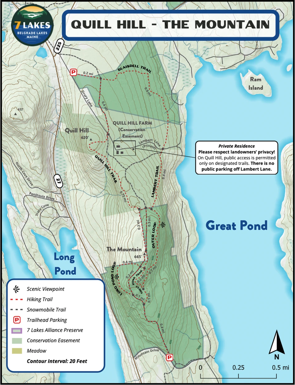
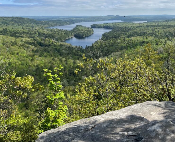
Quill Hill Trail
1.3 miles one-way (230 ft. elevation gain)
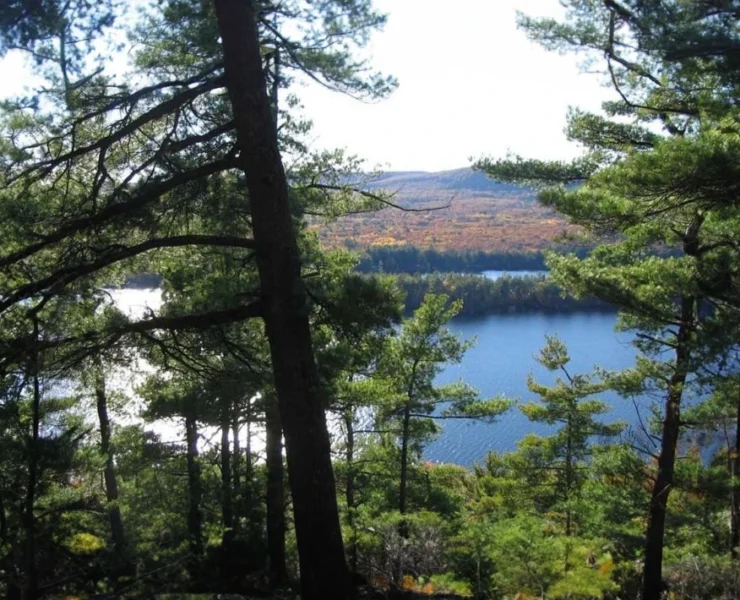
This trail features moderate grades and is an excellent choice for hikers of all ages and abilities. From the Drury Lane parking area, proceed following the snowmobile trail through an open field until the Quill Hill Trail breaks away into a mature hemlock forest. Continuing south, the trail joins the Outer Loop Trail on The Mountain.
Lambert Trail
0.4 miles one-way (190 ft. elevation gain)
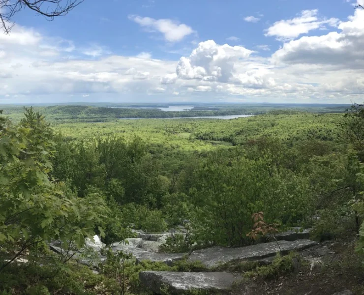
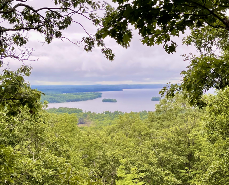
The Lambert Trail begins at the northern end of the Outer Loop on The Mountain Trail system, and meanders through forests of hemlock, pine, maple, and birch to Lambert Lane. During the spring, listen for the calls of vireos and thrushes. The trail is steep at times, and rock steps are common – skiing it is not recommended. Instead, skiers should continue north and ski down the snowmobile trail until it reaches Lambert Lane.
Blaisdell Trail
0.9 miles one-way (170 ft. elevation gain)
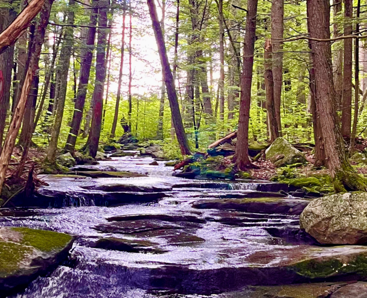
The Blaisdell Trail connects Lambert Lane to the Quill Hill Trailhead. The trail travels through mixed hardwood forests, with occasional bridges crossing wet areas. The trail is suitable for walking in the summer and skiing and snowshoeing in the winter.
Distance:
8.1 miles
Trailhead:
From the intersection of Route 27 and Route 225 in Rome, head east on Route 225. After 50 yards, take your first right on Drury Lane. After 0.2 miles, turn left to access a parking area. Please note that there is no public parking off privately owned Lambert Lane. Please respect the wishes of the landowner utilizing the designated parking lot. Quill Hill can also be accessed from The Mountain Trailhead.
Trail Usage:
Hiking, Snowshoeing