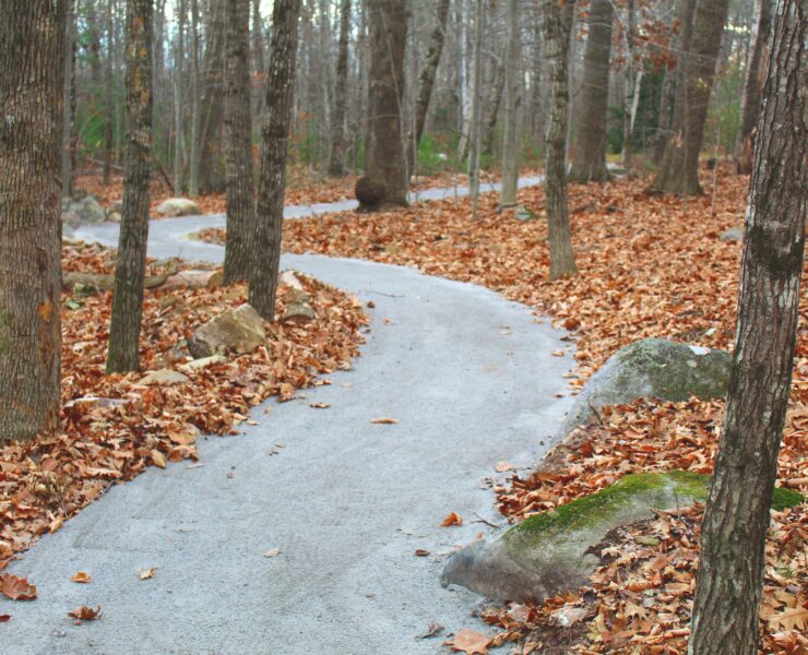
This trail in the Kennebec Highlands Public Reserved Land offers moderate hiking along the ridgeline of Sanders Hill. The trail passes many granite slabs, boulders, and rock field all of which allude to the glacial history of the area.
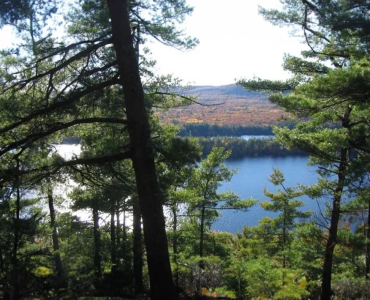
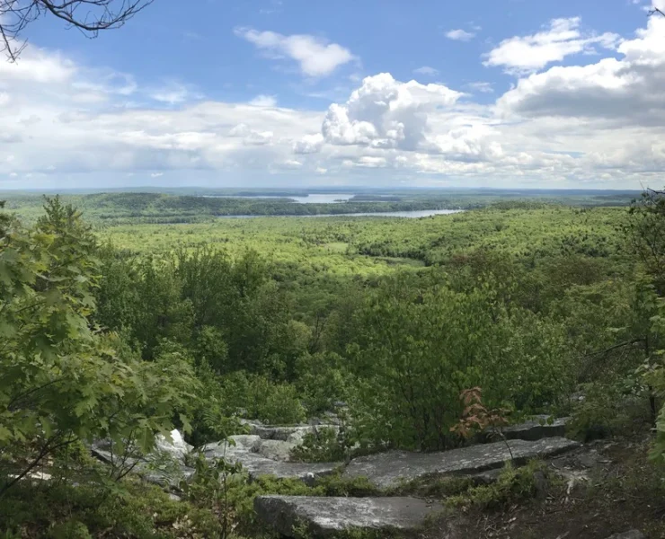
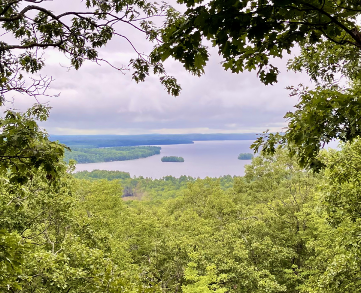
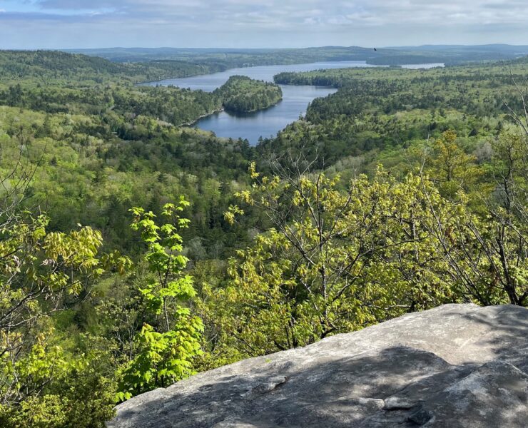
At 0.2 miles there are nice views from the south end of Watson Pond from atop a large boulder. The trail crosses the inflow for Watson Pond, briefly follows what was a logging road, then, after veering to the left, narrows and begins climbing moderately to the west. The trail eventually turns right (north) after crossing a short wet area and follows the ridgeline through a rock field where there are views to the east of Watson Pond, Mount Phillip, and French Mountain. The trail cuts directly through and over some large granite slabs at 0.9 miles and continues on to a sparsely wooded summit area with views to the east and south through the trees at 1.1 miles. The trail continues northwest over the Sanders Hill summit (854′), then descends to join the Kennebec Highlands Trail at 1.3 miles. Turn left (south) and follow this broad gravel trail. At 1.9 miles, just before a bridge over upper Beaver Brook, turn left (east) back into the woods along the brook. The trail crosses two small brooks in a northeasterly direction, swings east through a young mixed growth forest and past a large rock (Snapper Rock), and finally turns north to reach an old logging road. Turn right (east) onto the logging road and continue back to the parking.
Distance:
2.9 mile loop (450 ft. elevation gain)
Trailhead:
Sanders Hill trail is one of the premier hiking trails in the Kennebec Highlands. It is a moderate hike that features glimpses of Watson Pond, a cascading brook, granite slabs and boulder fields. The trail is a loop and can be hiked in either direction. Be alert for signs and trail markers, as the trail passes over several old logging roads. When heading clockwise, a picnic area along a brook is passed around 1 mile in. The trail passes over the wooded summit of Sanders Hill. Following the trail clockwise, hikers can enjoy a view to the north and east from a rocky outcrop just down from the mountain’s summit.
Trail Usage:
Snowshoeing, Hiking