Spring trail conditions can be unpredictable with ice, mud and snow possible. For your safety and to reduce erosion, please wear micro-spikes and stay on the middle of the trail.
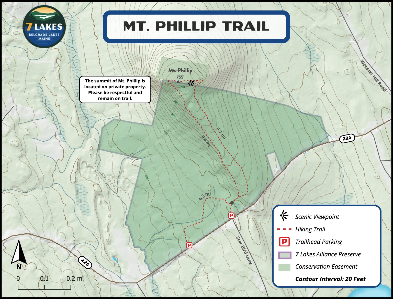
1.4 mile loop (320 ft. elevation gain)
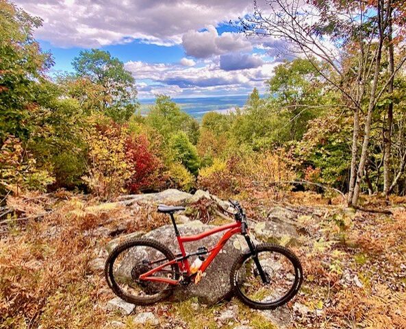
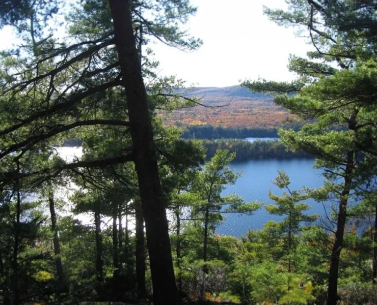
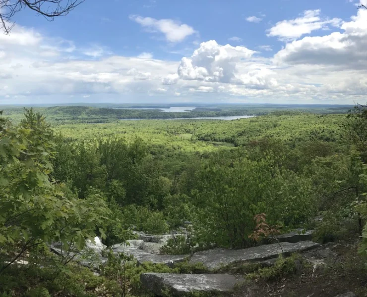
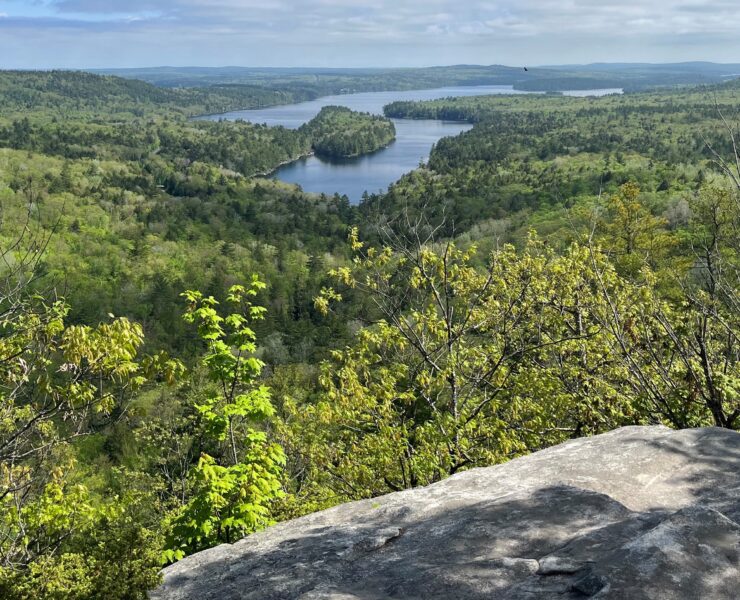
The Mt. Phillip Trail can be accessed through the upper or lower parking areas. The lower parking area features a short connector trail that rejoins the main trail after 0.3 miles. The Mt. Phillip Trail is a loop that can be hiked in either direction leading to an open summit with an excellent view of the surrounding area. Please keep in mind that the summit of Mt. Phillip is located on private property. Respect landowners and remain on the trail at all times.
Distance:
1.4 mile loop
Trailhead:
The Mt. Phillip Trail can be accessed through the upper or lower parking areas. The lower parking area features a short connector trail that rejoins the main trail after 0.3 miles.
Trail Usage:
Hiking
